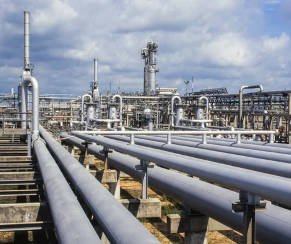
Pipelines
- Plan and construct pipelines effectively with digital terrain surveys of potential routes.
- Monitor pipelines spread across hundreds of kilometers of difficult terrain.
- Identify any encroachments in the right-of-use (RoU) corridor and take action.
- Identify any encroachments in the right-of-use (RoU) corridor and take action

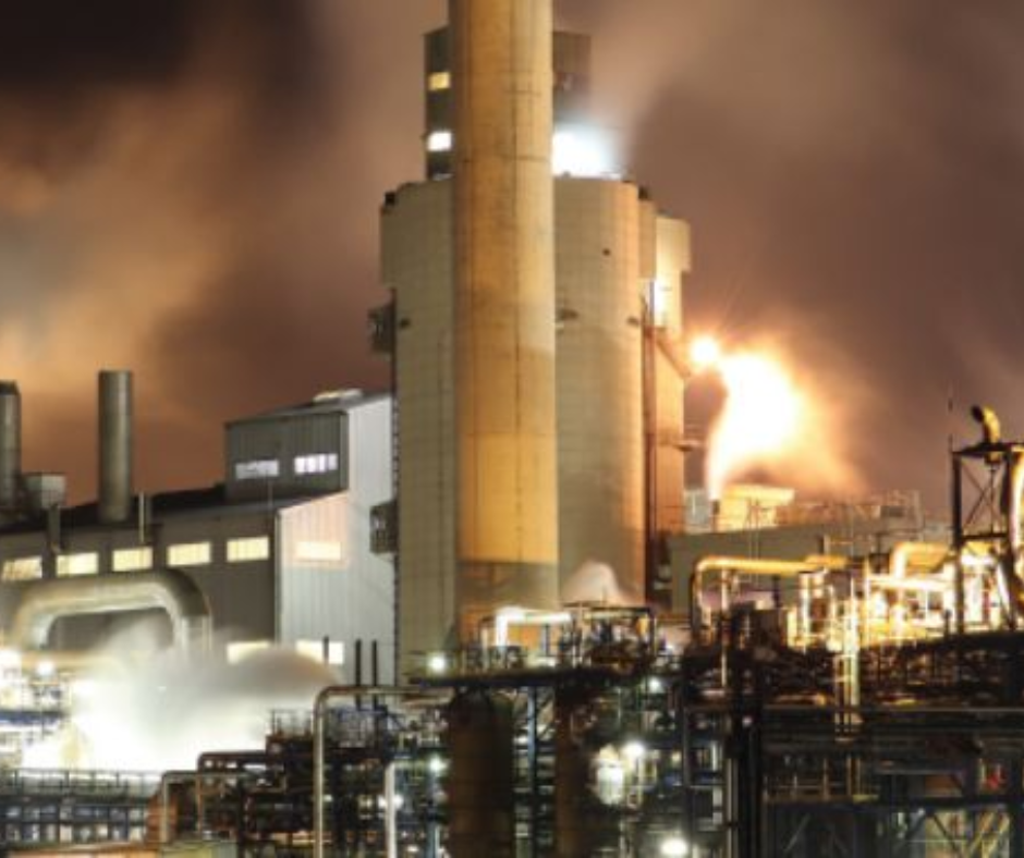
Upstream
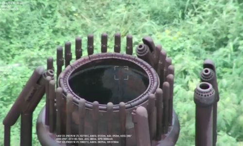
- Remotely inspect and monitor flare stacks, cooling towers, and hotspots safely.
- Conduct day and night surveillance for monitoring assets and detecting intrusions.
- Digitize surveys & inspections with 2D maps and 3D models.
- Automate drone flights for routine patrolling and safety inspections.
Downstream
- Automate drone flights for site surveying and monitoring.
- Reduce response time in case of emergency & minimize safety hazards.
- Monitor construction projects with real-time data and increase workflow efficiency.
- Maintain quality checks through aerial data and quickly respond to anomalies.
One-stop shop to provide drone solutions across the entire Oil & Gas value chain.
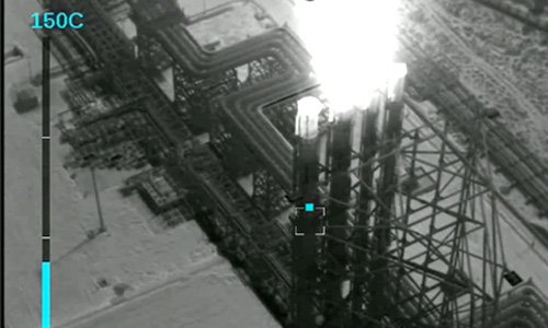
Experience in conducting safety-critical drone inspections using high-resolution RGB and thermal cameras.

Surveyed and monitored 3000+ km of cross-country pipeline routes using drones.

33% increase in efficiency

50% reduction in
inspection cost

Enhance safety of workers