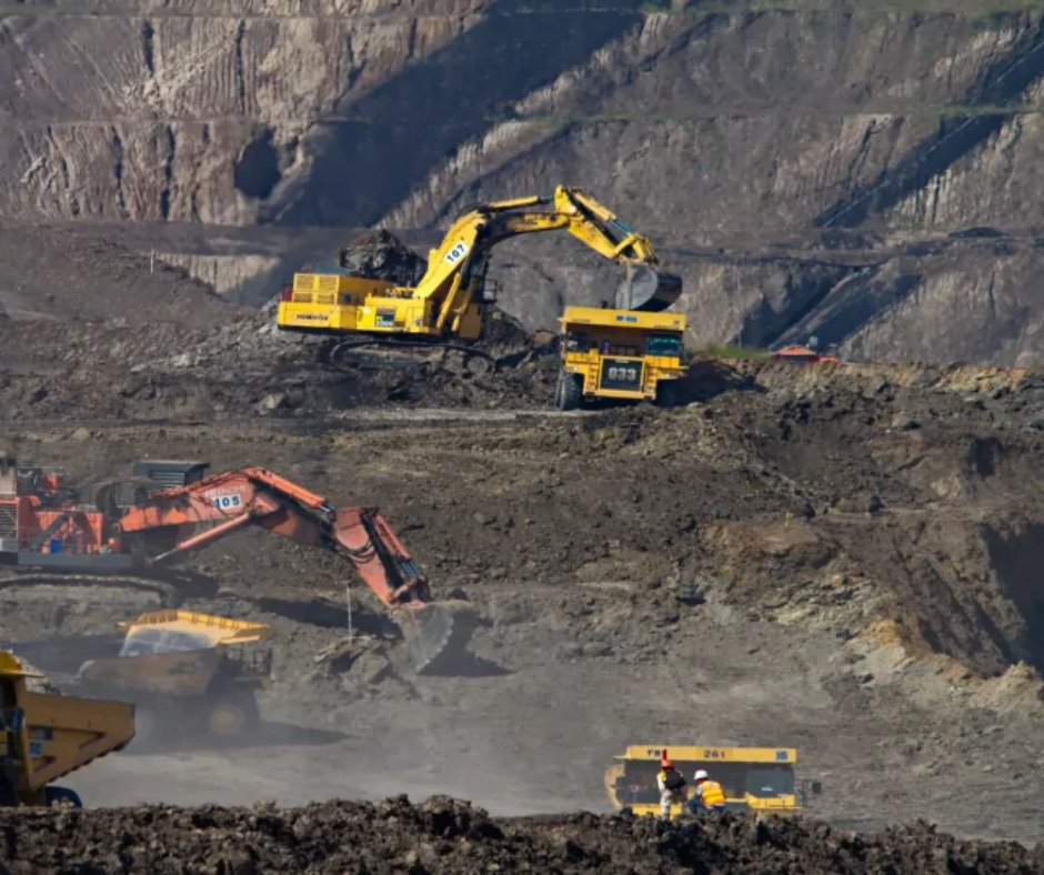
Mine Planning & Operations
- Digitize and record accurate inventory audits through stockpile volume estimation using drone data.
- Get visual data that elevates mine design, preparation, and extractions. Plan and design haul roads, blast sites, watershed, floor flow and drainages efficiently.
- Monitor land development and ensure regulatory compliance.
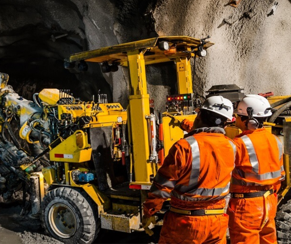
Mine Safety & Security
- Measure slopes, haul road widths to ensure safety of operations using drone data.y
- Increase situational and safety awareness of daily operations with live aerial video giving a 360-degree bird’s-eye perspective.
- Secure mining site and assets using drones for day and night large area surveillance.
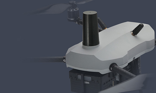
Survey grade accuracy with PPK GPS enabled drones.
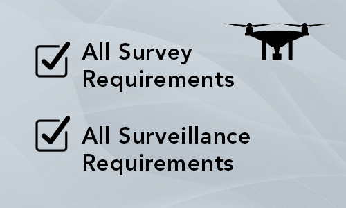
One-stop shop for both survey and surveillance drone requirements.

End-to-end drone solutions including hardware and software.

Up to 98% survey accuracy

90% increase in
survey efficiency

60% increase in collaboration
