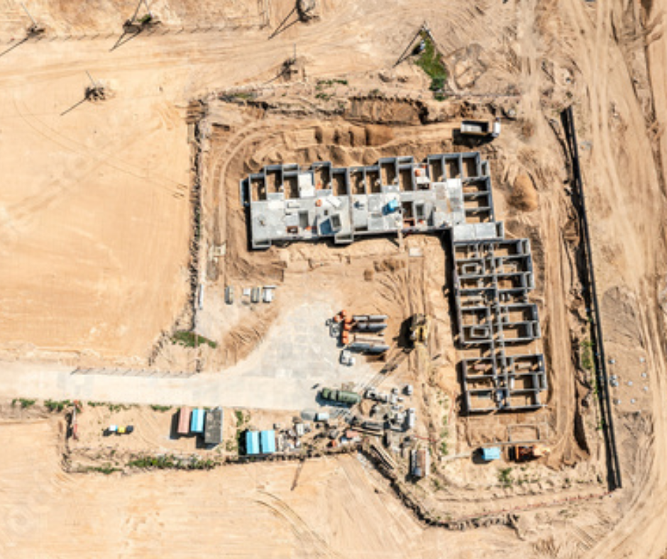
Facility Security
- Routinely patrol facility areas and perimeters using drones with automated flight paths.
- Perform day and night surveillance using drones equipped with swappable EO and thermal cameras.
- Detect, identify, and classify vehicles and people and track objects of interest.
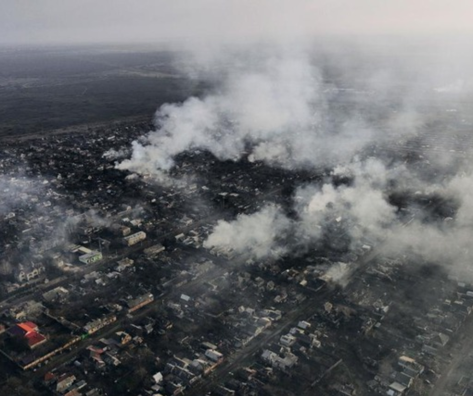
First Response
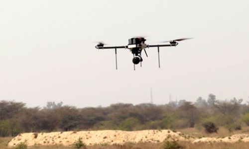
High performance drones with swappable payloads, secure communications, obstacle avoidance, and geofencing.
Cloud-platform to access real-time video from multiple drones remotely and integrate with Video Management Systems (VMS).
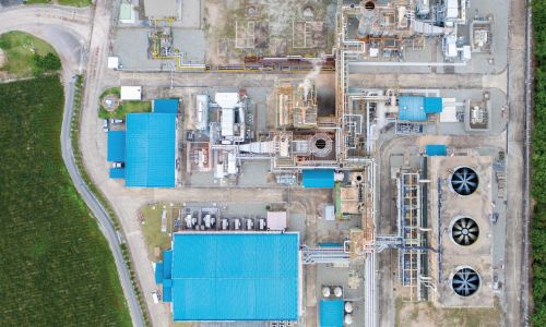
20+ MNCs & PSUs have deployed Asteria’s drone solution on their premise for security & surveillance.

360-degree surveillance of facility areas

Improved security
coverage in blind spots

50% time reduction
in first response