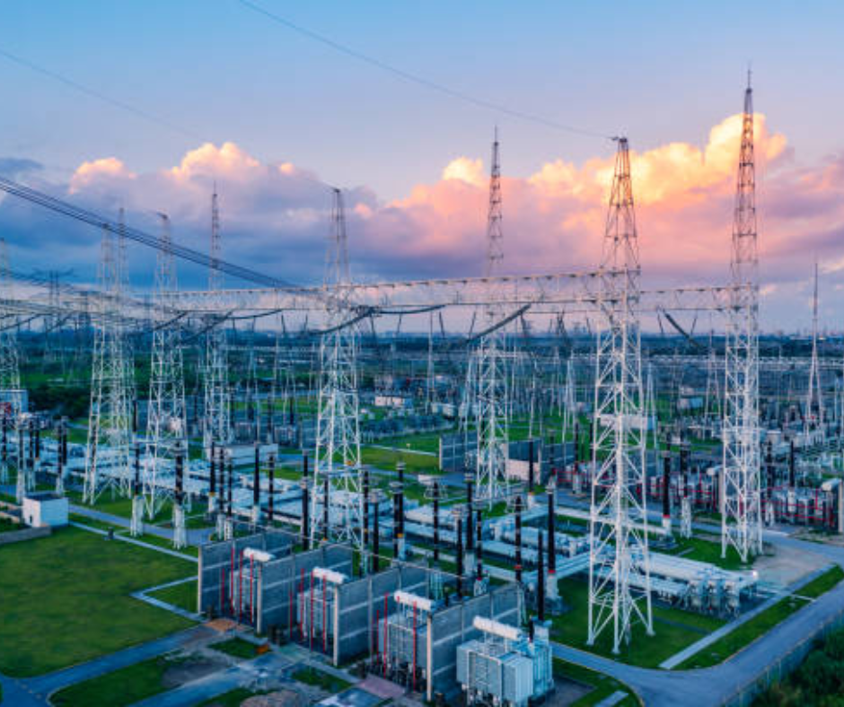
Power Transmission & Distribution
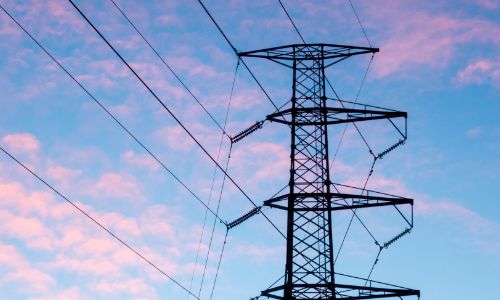
- Inspect insulator health on high-voltage lines without shutting down operations.
- Assess the structural integrity of transmission towers without the need for manual climbing.
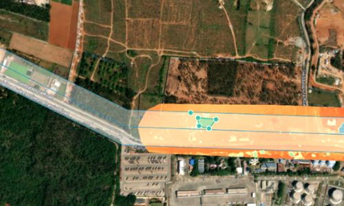
- Periodically monitor vegetation encroachment along your RoU route to eliminate the risk of breakdowns and fires.
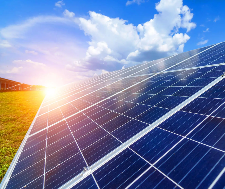
Solar
- Conduct site selection surveys for green field solar farm prospecting by creating digital terrain models.
- Monitor construction progress of solar farms using aerial data and automated reporting.
- Detect anomalies in solar panels and increase operational efficiency using thermal maps generated from drone data.
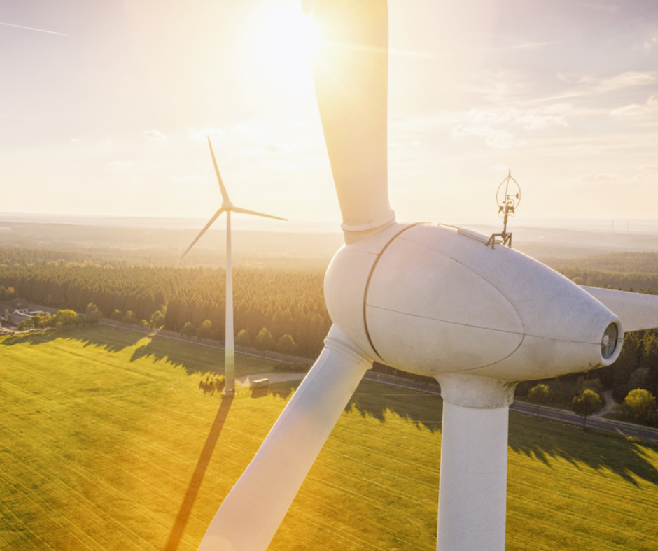
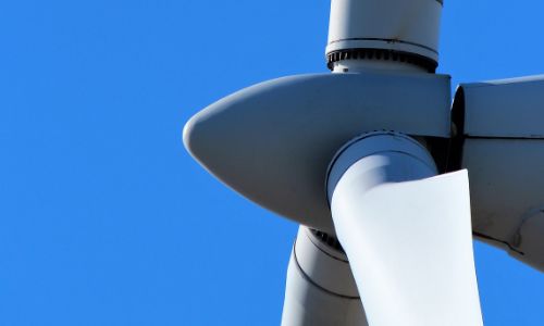
Wind
- Inspect wind turbines with minimal downtime and identify the damage, cracks, and other anomalies on wind turbine blades.
- Digitize inspections with high-quality aerial video and imagery records.
- Increase worker safety by reducing manual climbs for turbine inspection.
170+ rugged, reliable, and performance-driven drones serving our armed and paramilitary forces.
170+ rugged, reliable, and performance-driven drones serving our armed and paramilitary forces.
170+ rugged, reliable, and performance-driven drones serving our armed and paramilitary forces.

33%
increase in efficiency

50% reduction in
inspection cost