Increases productivity and efficient of acres of farmland with drone solutions
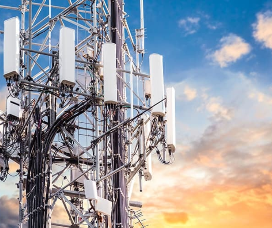
Digitize and inspect telecom towers with Flytrex’s drone solutions
Inspect Intelligently, minimize downtime
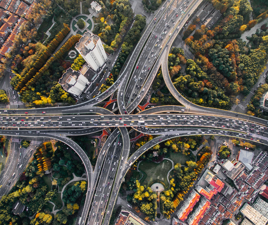
Efficiently and accurately map thousands of square kilometers
Digitize &mines to create safety, efficiency and productivity
Security & surveillance from sky
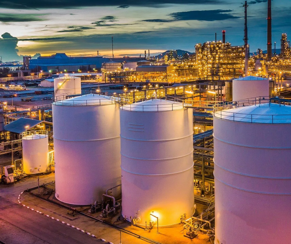
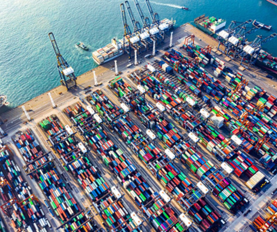
Inspect critical assets and minimize downtime using drone solutions
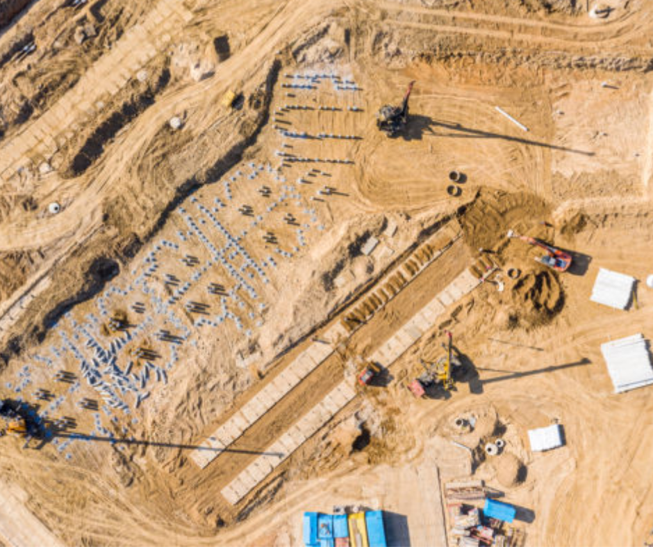
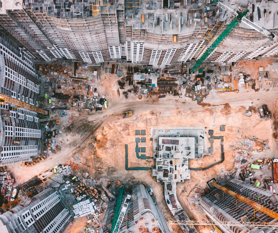
Enhance safety, map progress and reduce time & cost of Inspection
Save on initial costs related to hardware, software, pilots & analytics and visualization platform.
Add new capabilities – scale as you grow and fly more frequently over time.
Leverage technology and engineering expertise to optimize usage & maximize outcomes.
Avoid financial, operational and safety risks associated with drone operations, data capture and analysis.
Drone solutions/services tailored to specific industrial and business requirements.