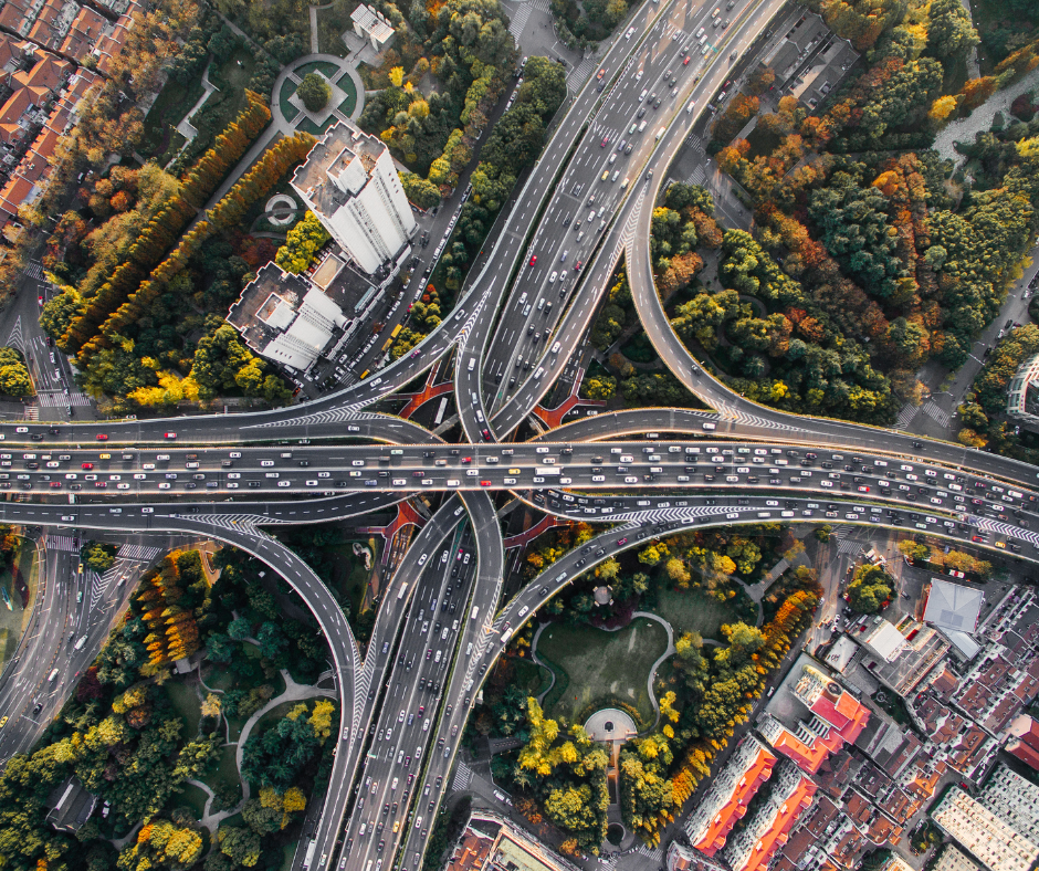
Roads & Highways
- Plan road construction effectively using drone surveys for topographic analysis to identify elevation changes and drainage points.
- Monitor progress and document highway construction using high-resolution digital aerial maps and video.
- Survey & inspect bridges located in complex terrain to plan maintenance activities faster.
- Analyze traffic using drone-based aerial video and AI algorithms.
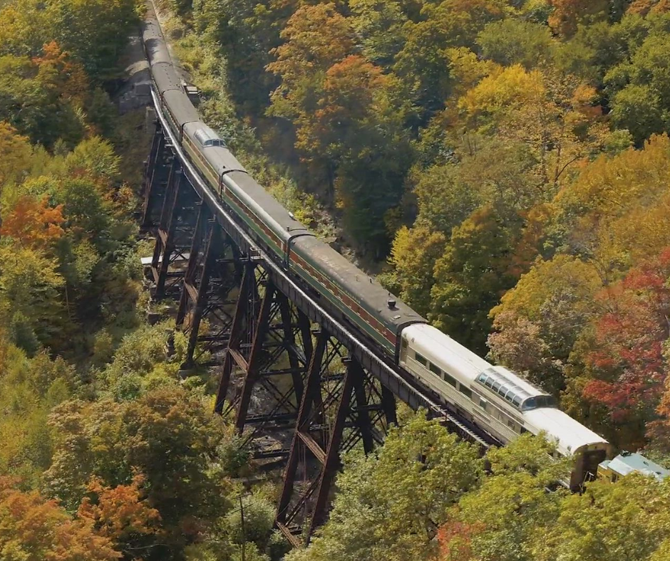
Railways
- Plan, monitor, and document railway route construction using high-resolution digital aerial maps and video.
- Frequently inspect the condition of rail tracks to identify anomalies and defects.
- Inspect hard-to-reach railway bridges quickly and easily and plan preventive maintenance.
- Periodically survey railway routes to detect encroachment by animals.
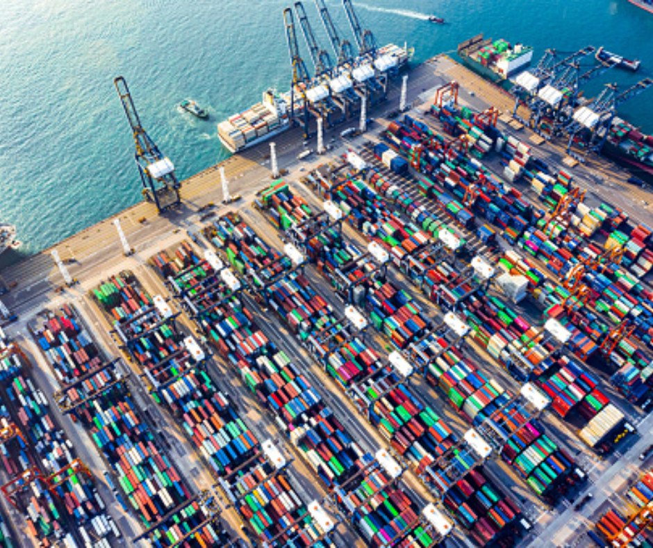
Ports
- Monitor sea traffic across multiple locations to manage moving cargos and seaports effectively.
- Perform day and night surveillance to ensure the safety and security of seaports.
- Inspect port assets & operations effectively.
- Prepare emergency response with precise actionable intelligence from drone-based aerial video and AI algorithms.
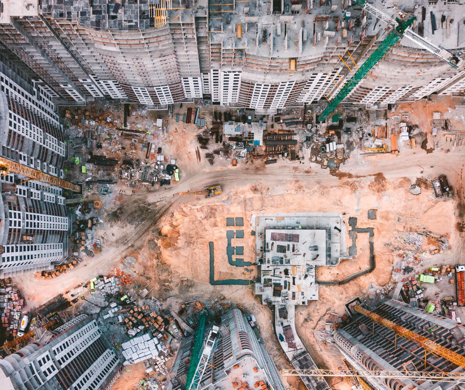
Construction Projects
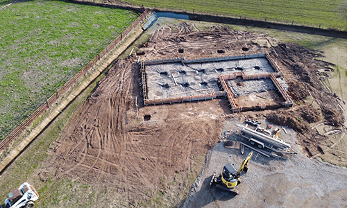
- Effectively survey acres of land with drones in minutes for construction planning.
- Accurately estimate cut-fill volumes for project bids using high-resolution drone maps.
- Monitor construction progress using periodic aerial maps and 360-degree videos of sites.
- Perform on-site inventory audit of materials and equipment in a transparent manner using drone data.

Survey-grade accuracy using PPK GPS enabled drones.
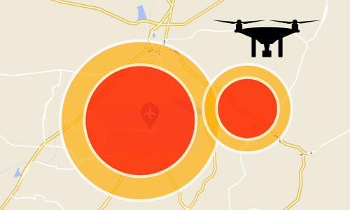
In-house compliance team to apply and obtain permissions for drone flights in yellow/red restricted airspace zones.
10,000+ sq. km of land surveyed and digitized using drones.

5-10x
faster surveys

90%
less time on site